
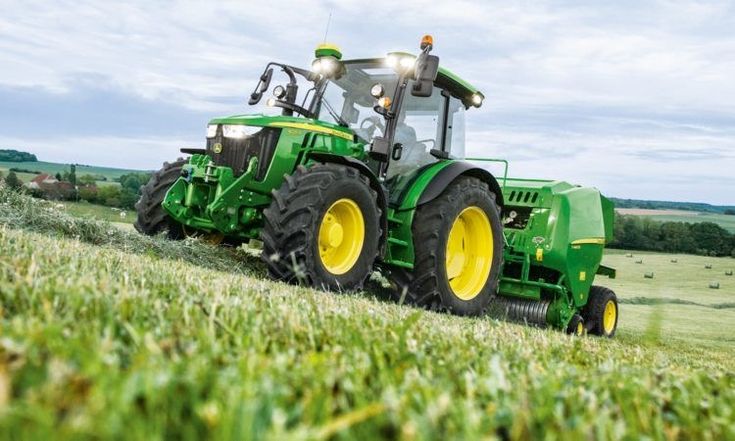
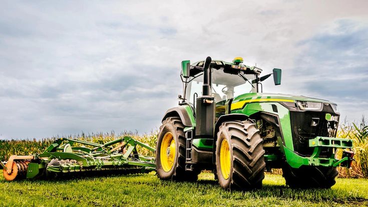
Modern farming demands more than just hard work — it requires smart tools that bring accuracy, repeatability, and convenience to daily field operations. That’s exactly what Tractor GPS offers — especially when it comes to one of its most powerful features: Field Mapping and Saving.
If you’ve ever struggled with remembering where you last sprayed, plowed, or planted — or if you want a better way to organize your farm — this blog will show you why Tractor GPS is the perfect solution for field mapping and task tracking.
Field mapping is the process of digitally marking your farm boundaries, paths, and activity zones using GPS tracking. With Tractor GPS, you can:
Draw or trace your field boundaries in real time
Record completed tasks on specific zones
Label and save each field for future use
Access a complete visual history of your work
Whether you’re working on a large field or multiple small plots, this feature ensures that no land goes untracked, and no work goes undocumented.
Once your field is mapped and saved, there’s no need to redraw boundaries again. Reuse the saved data year after year — just select the field and start working.
Field mapping allows you to clearly see covered areas, preventing missed spots or double coverage. This is crucial for tasks like fertilizing, spraying, or sowing.
View how much of your field is completed in real time. No more relying on memory or marking with stones or sticks.
Manage multiple fields with custom names and data. Know which plot was sprayed last, and when. It’s like having a digital notebook for your farm.
Access past activity logs to make better decisions for crop rotation, fertilizer schedules, and seasonal planning.
Here’s how easy it is to map and save your field using a Tractor GPS app:
Open the app and start a new field task
Drive along the boundary to trace your field
The app records GPS points and creates a field outline
Name and save the field (e.g., “North Wheat Field”)
View or reuse the field anytime
The interface is designed for simplicity — no technical skills needed. Just tap, drive, and save.
Farmer Name: Kuldeep Singh
Location: Punjab, India
Challenge: Forgetting field edges and wasting fertilizer in overlap.
Solution: Mapped his 3 main fields using the Tractor GPS app.
Results:
✔ Saved over ₹15,000 in fertilizer costs
✔ Reduced average working time by 30%
✔ Reused field maps across multiple seasons
In precision agriculture, every inch matters. Inaccurate or manual mapping can result in:
Waste of seed or chemicals
Missed planting rows
Soil damage from repeated passes
Reduced yields due to inconsistent coverage
With GPS-powered mapping, you maximize land usage, maintain consistency, and work more efficiently.
The best Tractor GPS apps come with extra tools to enhance field mapping:
Zoomable field view: Check every detail
Color-coded task history: Visualize what was done and where
Multiple field support: Manage 5, 10, or 50 fields — easily
Offline access: Works in remote fields with no internet
Field notes: Add comments or labels for future reference
These features turn your app into a powerful farming assistant.
Here’s what you unlock when you consistently save and use field maps:
| Benefit | Impact |
|---|---|
| Historical records | Plan future crops based on past work |
| Field rotation tracking | Improve soil health and productivity |
| Better equipment use | Track which fields were worked by which machines |
| Simplified training | New workers can follow saved paths and guidance |
You’re not just working the land — you’re building a digital memory of your farm.
Want to experience the benefits of digital field mapping?
✅ Download the Tractor GPS App
✅ Map your fields while you work
✅ Save, label, and reuse anytime
✅ Stay organized, efficient, and one step ahead
Whether you’re managing a small organic farm or large commercial plots, Tractor GPS helps you track every corner with precision.

Our app is now available on

2024 Tractor GPS All Rights Reserved